We took the high road – Trail Ridge Road – in Rocky Mountain National Park

Trail Ridge Road in Rocky Mountain National Park is famous for being the “highest continuous paved road in the United States” that traverses 48 miles from Estes Park to Grand Lake. It reaches an altitude of 12,183 feet, although the National Park Service has put a halt to people stopping at that point – it’s even been erased from the Park maps – because of the danger it was causing. (Hint is down below.)
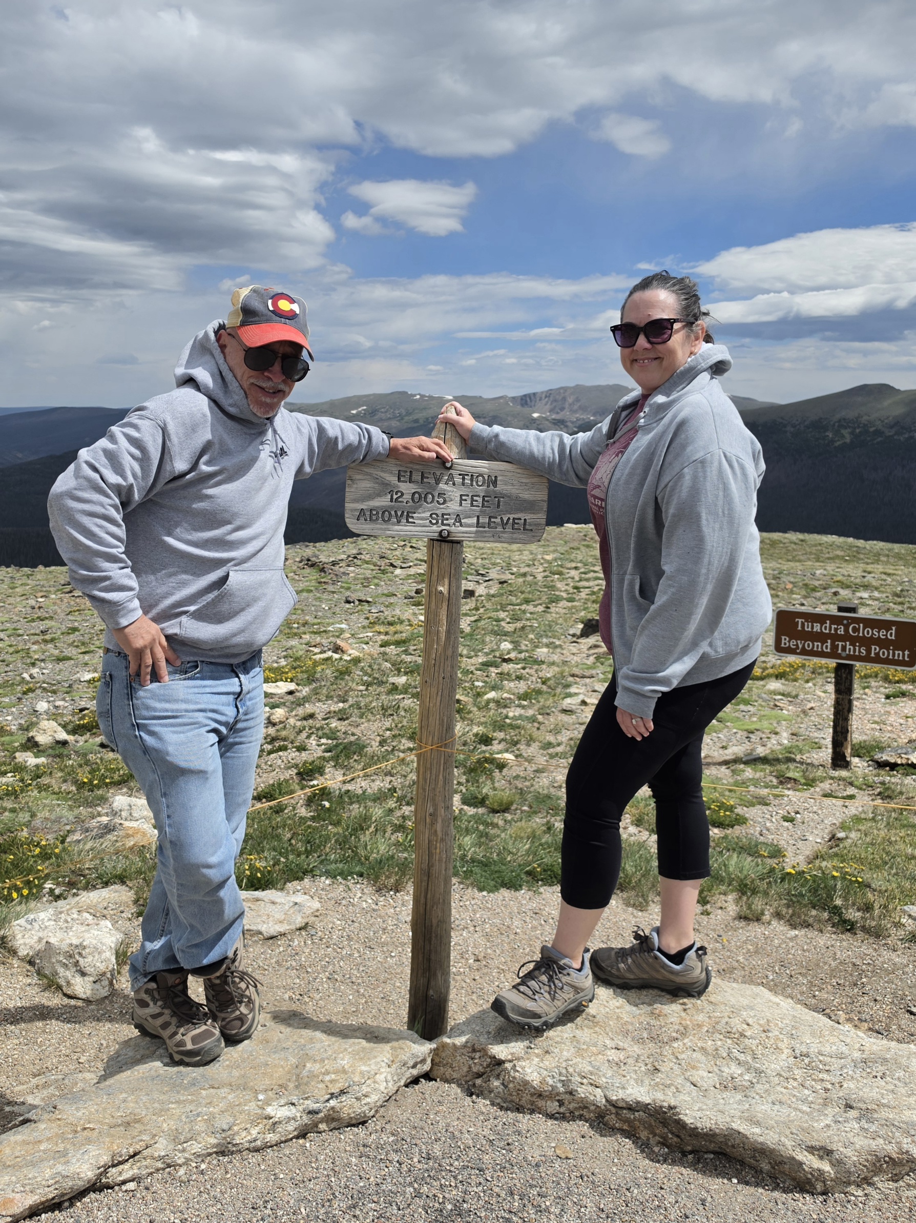
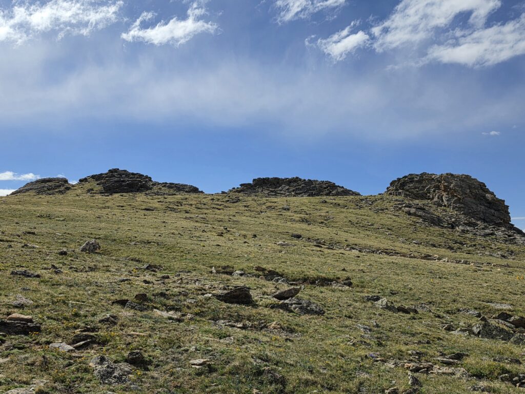
But you CAN pull into the Alpine Visitor Center at the midway point and climb to the lookout point of Alpine Ridge (it’s a little over half mile round trip and 600 feet of elevation) and you WILL be at an altitude of 12,005 feet.
Trail Ridge Road was designed and constructed beginning in Estes Park in 1929 and opened to traffic in 1932. It was completed through to Grand Lake in 1939, although further paving improvements continued into the 1940’s. Workers only had a three to four month window during the summer to conduct the work because of the alpine conditions and permafrost.
The road is narrow and one lane in each direction. It was carefully engineered to supposedly have grades of no more than 7%. There are no actual guard rails although there are some stonewalls built along a few of the curves.
It was constructed to replace the more treacherous and harrowing Fall River Road, although that is still there for those brave enough to attempt it.

For all of you white knucklers, while there is no “official” count of the hairpin turns, I did count 10 of them along the way.

There is a sign that warns of the sudden change in weather, and nothing holds truer than that statement. You can experience four seasons just while traveling Trail Ridge Road. So be prepared. One stop you could be wearing t-shirt and shorts and the next stop you may want to break out the parka.
We started out early, getting to the Fall River Entrance Station before 9 a.m., before the beginning of the timed entry process (9 a.m. to 2 p.m.) Actually, we made it just under the wire with less than three minutes to spare as the lines were really long waiting to get in.
I was in jeans and a t-shirt at Many Parks Curve. At Rainbow Curve, I needed my sweatshirt, and ran back to the car to get out of the wind and cold. When we got out at the Colorado River Trailhead, I was tearing off my sweatshirt and cursing that I didn’t have my shorts. It was 47 degrees and windy at Rainbow Curve and 78 degrees at the Colorado River Trailhead with the sun beating down. Do the math.
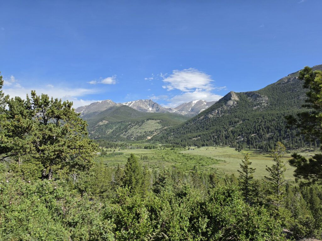
The lookout over Horseshoe Park is usually the first big picture spot everyone stops at if they are coming in from the Fall River Entrance of Estes Park. Yes, there is Sheep Lake, where you might find some moose cooling off, and Alluvial Fan, with a beautiful waterfalls. But you can always find people turning into the pullout and climbing the rocks to get their first real view of the Park. Of course in one direction is Horseshoe Park. But the better view, especially when the snow is covering the peaks, is in the opposite direction, looking out at the Mummy Range – with Mount Chapin (12,454 feet) and Mount Chiquita (13,075 feet) in full view.
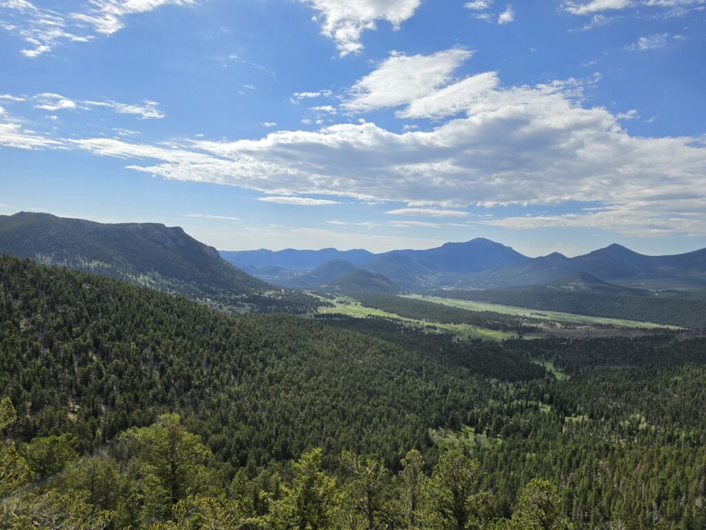
Many Parks Curve is a popular picture spot that has a rock formation that visitors climb, as well as a combination bridge (I would call it a bridge) and metal trail that looks out over Horseshoe Park in one direction and Beaver Mountain (10,491 feet) and Upper Beaver Meadows in the other direction. There are two parking lots, one right after the hairpin turn that is a bad blind spot for pedestrians crossing.
In the winter months, Many Parks Curve MAY be as far as you can go due to the snow conditions.
Probably the most popular picture spot along Trail Ridge Road is Rainbow Curve. MOST of the time, Rainbow Curve will be the winter terminus for Trail Ridge Road. If you ever venture up in the winter months, you will see the snow on the way up, and then you will be met with a wall of snow behind a gate that lets you know that the road is closed…as if you couldn’t figure that out. But I WILL say that we have seen people try to head out on foot passed the sign. Not a great idea.
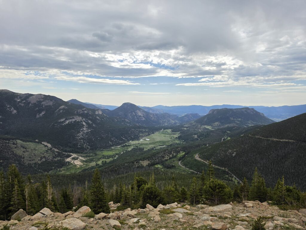
The weather conditions are so different up at Rainbow Curve than anywhere else. It is much cooler, and much windier. And it is where most people will finally feel the effects of the altitude. Because at this point, you are now two miles above sea level.
Tundra Communities is the site of the Tundra Trail and where a number of species that exist in the tundra are being carefully watched and studied. The alpine tundra is where trees are not able to exist, hence why it often called the “treeline” or “timberline” because the weather conditions are just too harsh for tree life.
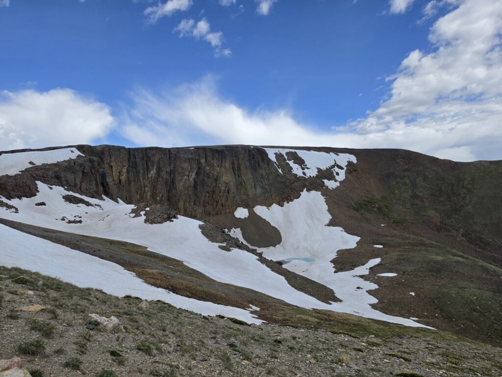
Lava Cliffs features a rare section of volcanic rock formed millions of years ago. It was pretty much the “high point” of our drive.
The Alpine Visitor Center, at 11,796 feet, has a large parking lot but there is almost always a wait to get in to find a parking space. It is here that you will get a great view of Mount Chapin (12,454 feet) and Mount Chiquita (13,075 feet) from the other side.
You will also, from the parking lot, have access to Alpine Ridge Trail aka “Huffers Hill.”
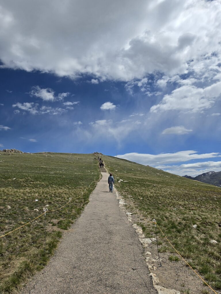
Huffers Hill is a very appropriate name and if you experience it, you will understand why. Because most people are making their way up there, huffing and puffing, wondering “Why can’t I breathe?”
There are a multitude of reasons why you just might have trouble breathing. Of course the main reason is the high altitude and not being acclimated to it. Some people are just naturally not easily adjusting, but a lot of people don’t heed the warnings. Don’t drink alcohol, don’t consume caffeine, and if you are a smoker, well, that definitely doesn’t help. But people also ignore the advice to stay hydrated.
People think that there is less oxygen as you go up. But that is not true. The percentage of oxygen remains the same – about 21%. What changes is the air pressure…it decreases. That means the oxygen molecules are more spread apart and you can’t get as much with each breath as you do at lower altitudes. At 12,000 feet, each breath gives you somewhere between 30% and 40% less oxygen than you would get at sea level. Think about that. Smoking, caffeine, and alcohol all vastly exacerbate that.
Now to the west side of Rocky Mountain National Park…
Just west of the Alpine Visitor Center is Medicine Bow Curve, a hairpin turn that is at 11,640 feet and overlooks the beautiful Cache Poudre River Valley.
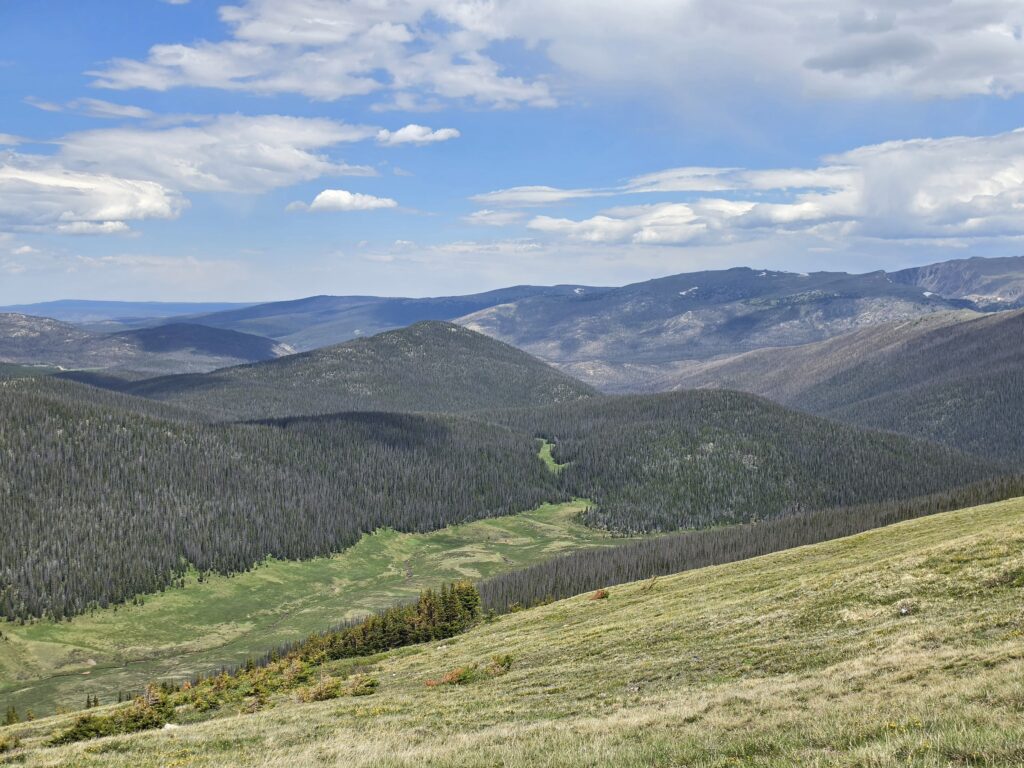
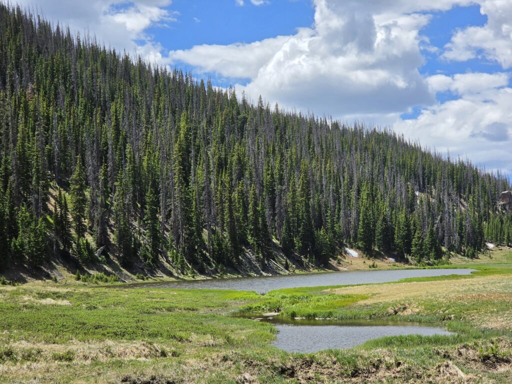
Poudre Lake rests JUST east of the Continental Divide at Milner Pass.
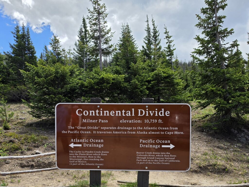
Milner Pass and Continental Divide – The Continental Divide is a natural phenomenon that determines which way water will flow. On one side it will flow east toward the Atlantic Ocean and on the other side it will flow west toward the Pacific Ocean. In the Americas, it flows from Alaska in North America to the Strait of Magellan in South America. In Rocky Mountain National Park, it passes through Milner Pass at an elevation of 10,759 feet.
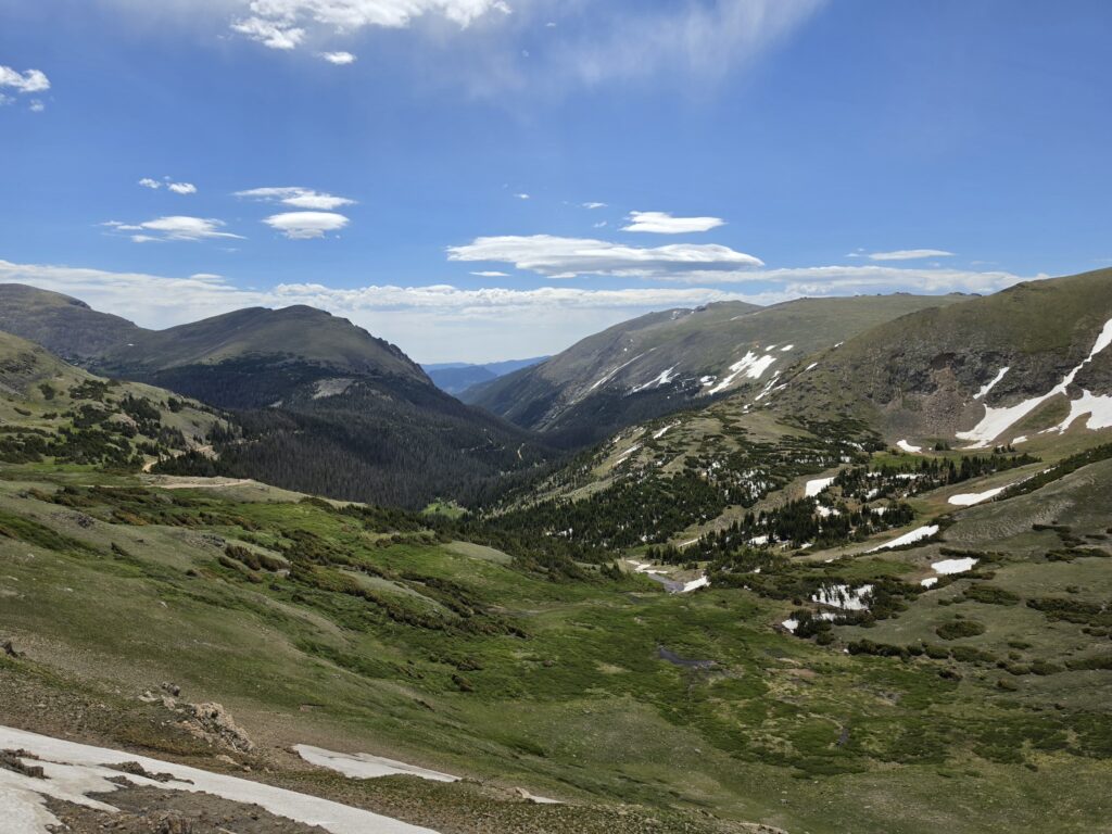
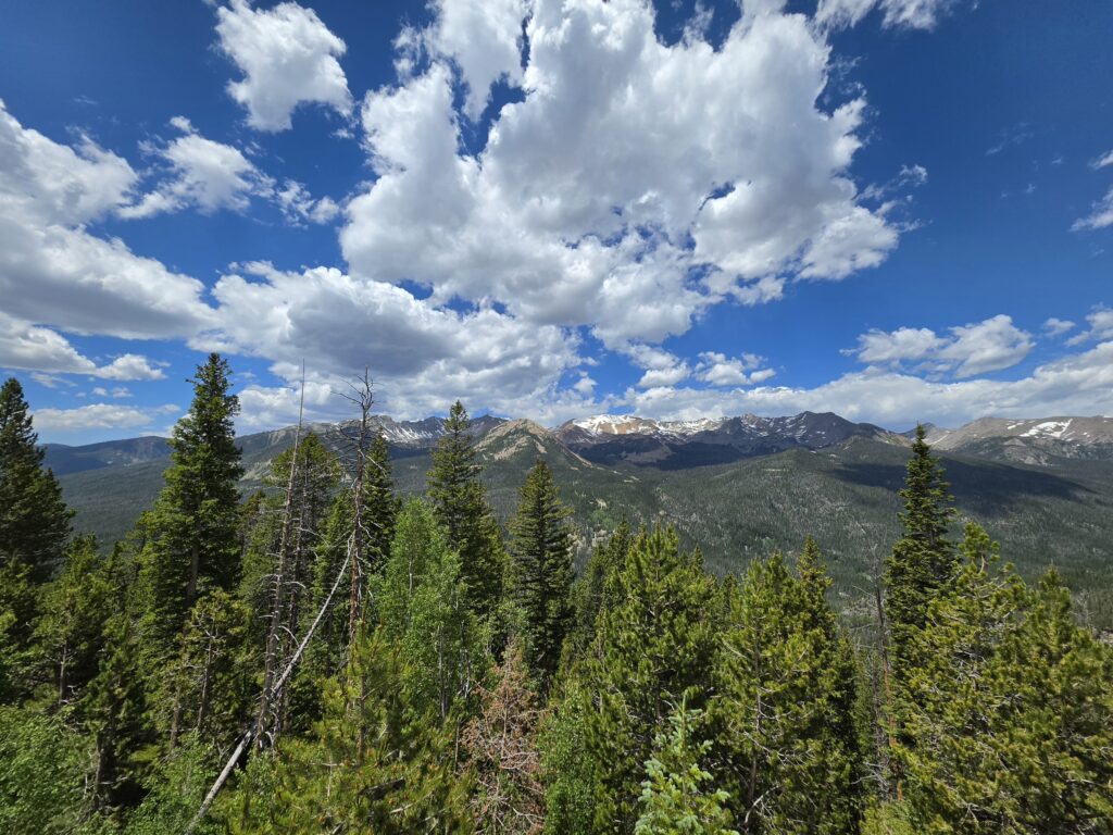
Farview Curve Lookout provides a view of a spectacular Kawuneeche Valley and the Never Summer Mountains. The Never Summer Mountains is a small, but tall range in the Rockies, with 17 peaks rising above 12,000 feet. The range gets its name from the seemingly never ending rain and snow that batters it year round. From the lookout you can see Mount Stratus (12,480 feet); Mount Nimbus (12,706 feet); Red Mountain (11,605 feet); Mount Cumulus (12,725 feet); Mount Howard (12,810 feet); Mount Cirrus (12,797 feet); and Lead Mountain (12,537 feet). Four of the mountains received their names because of the peaks pushing into the clouds.
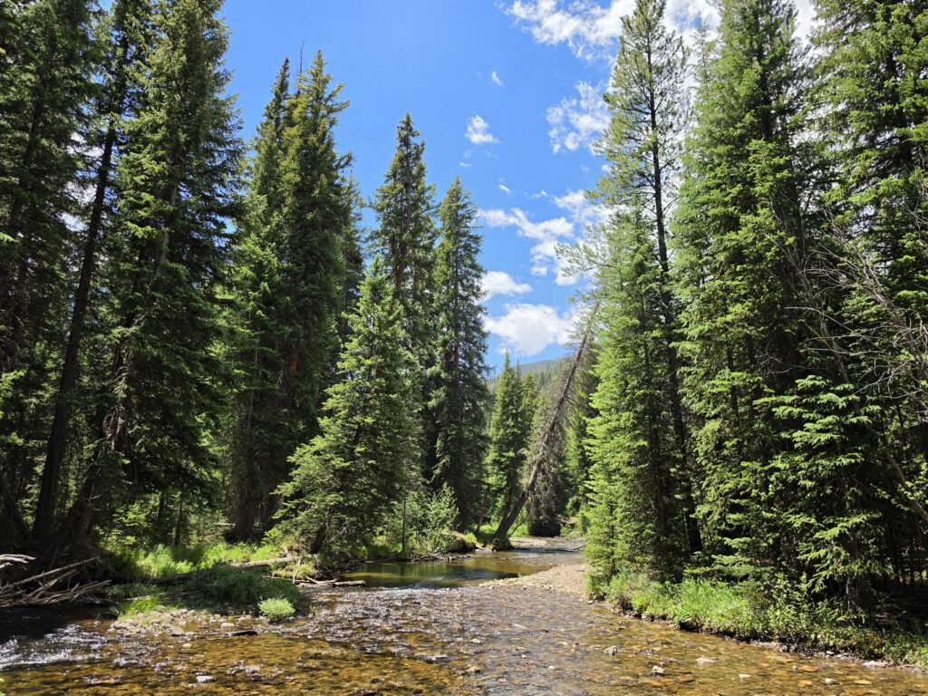
Colorado River Trailhead is a popular trailhead and is well-traveled…with various paths that lead to Lulu City, Thunder Pass, the Grand Ditch, and Red Mountain. All together, it’s a 13.6 miles loop.
We got some inside information, and rather than take the trail and head about a mile in, we were told of a path into the woods next to the rest rooms, about 40 yards in. The inside information turned out to be great as we got to experience a part of the Colorado River that most people would not get to see.
For whatever reason, we didn’t expect Grand Lake to be “outside” of Rocky Mountain National Park. But we realized that as we passed through the Grand Lake Entrance Station. Grand Lake itself is a turn or two off US 34.

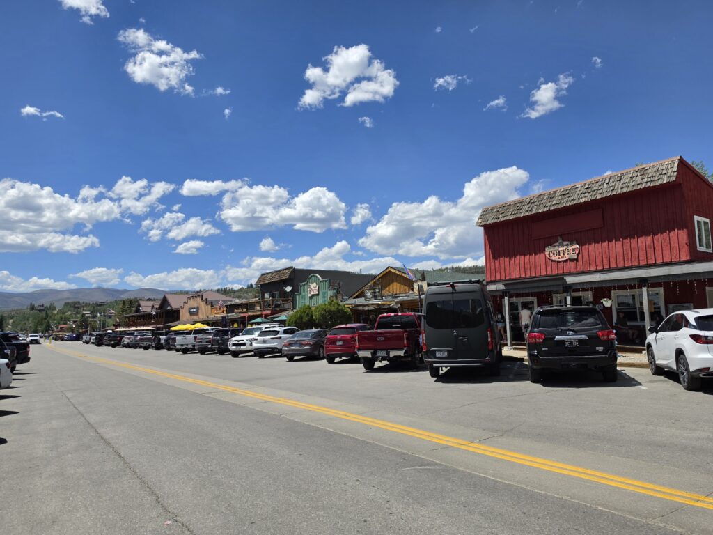
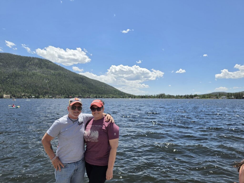
It was confusing, but we found a nice quaint, but bustling, western town with wooded walkways, old shops, restaurants, ice cream parlors, and saloons. We also discovered that Grand Lake was a big recreation area with kayaks, paddle boards, boats, and a very active beach area. VERY family-friendly and a lot things to enjoy. Definitely a place to return to and explore.
But for now…Happy Trails…Trail Ridge Road, that is.
Subscribe
We’d love to have you along for the ride! Subscribe to our newsletter to get a little piece of our latest adventures delivered straight to your inbox.